- 1 h 40 min
- 5,5 km
- Moderate
As you head out of the square of the town council, “Plaça de l’Ajuntament”, on an uphill grade, you will turn right on the second street, just in front of the school. This street leads to Can Salses, as indicated by the local street sign.
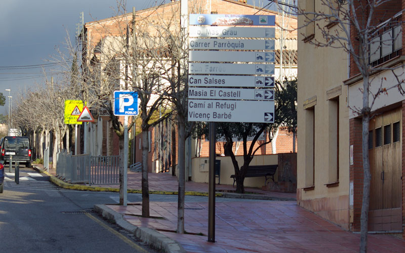
Go down the hill and then follow the paved street as it begins to climb. Turn to the left on a very sharp, 180º curve, and then follow the directions of the Park sign, towards the Refugi Vicenç Barbé, along the paved trail.
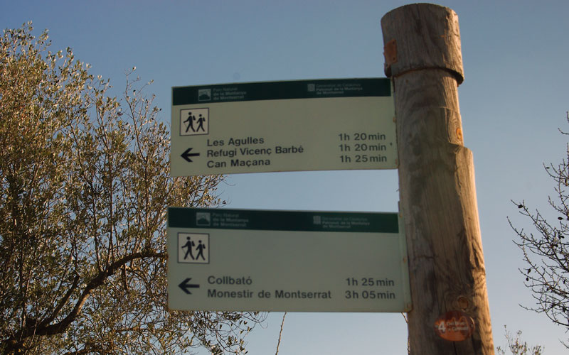
You will leave the Mas Grau development behind you on the right, and a bit further down the road, you will pass the Mas Can Rovira estate, which will be on your left, as you enter the forest trail. Just 20 metres ahead, you will come to a crossroads with a turning on the right that leads to Can Salses. Ignore this sign and continue straight on, along the trail that leads to Les Agulles - Refugi Vicenç Barbé - Can Maçana.
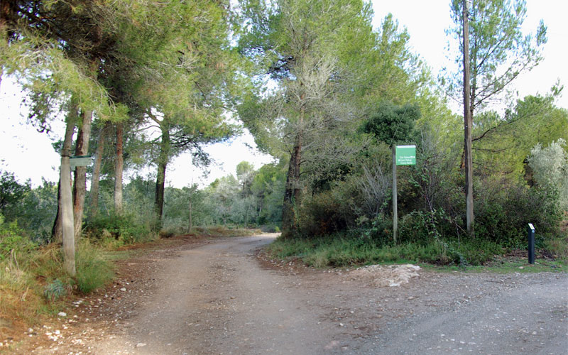
As you walk along this pleasant and wide trail, you will pass by a house on the left and cross the stream known as the Torrent de la Diablera, veering to the left and turning slightly uphill, until you reach the intersection with the trail that leads to the Refugi Vicenç Barbé mountain retreat. Ignore this crossroads and continue along the trail (which will turn 90º to the left) towards Can Maçana, via the pass known as Coll de Guirló.
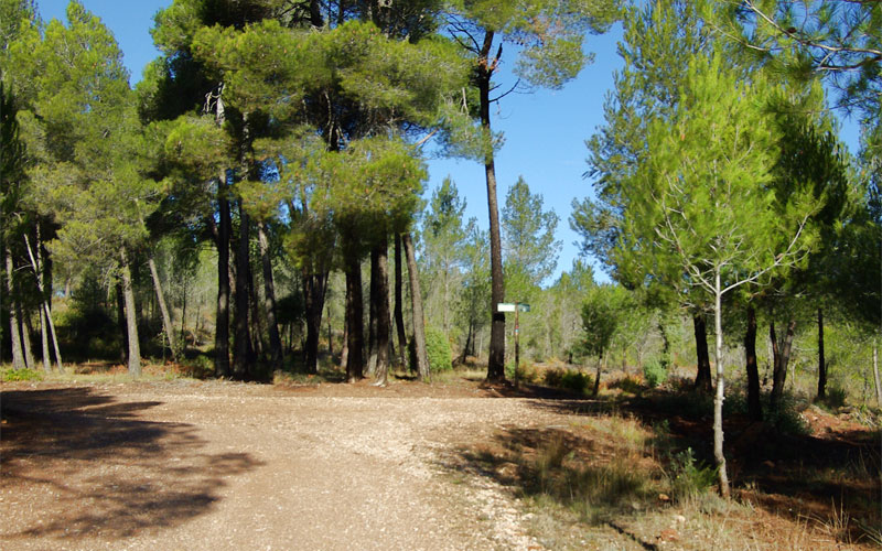
Approximately 50 metres ahead, you will come to another crossing of four paths. Here, you will turn right and climb over a vehicle access barrier, to then follow a section of the Camí de les Batalles trail uphill towards Can Maçana.
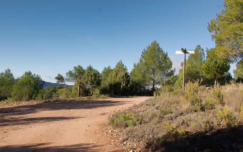
After a short and steep climb, you will come to a plateau where the trails fork off in different directions. Here, you will walk past two rainwater collection structures, which will be on your left, and then turn right towards the Coll de Guirló mountain pass, in keeping with the signs of the Natural Park.
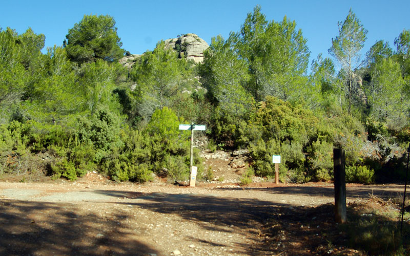
Further ahead, you will come to yet another signposted crossing. The trail to the right would take you to the Refugi Vicenç Barbé (mountain retreat); however you must continue straight on, along the steep uphill trail.
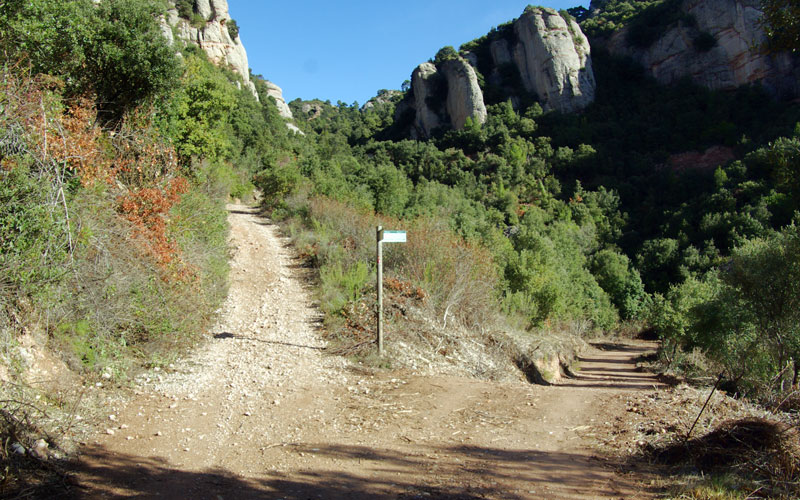
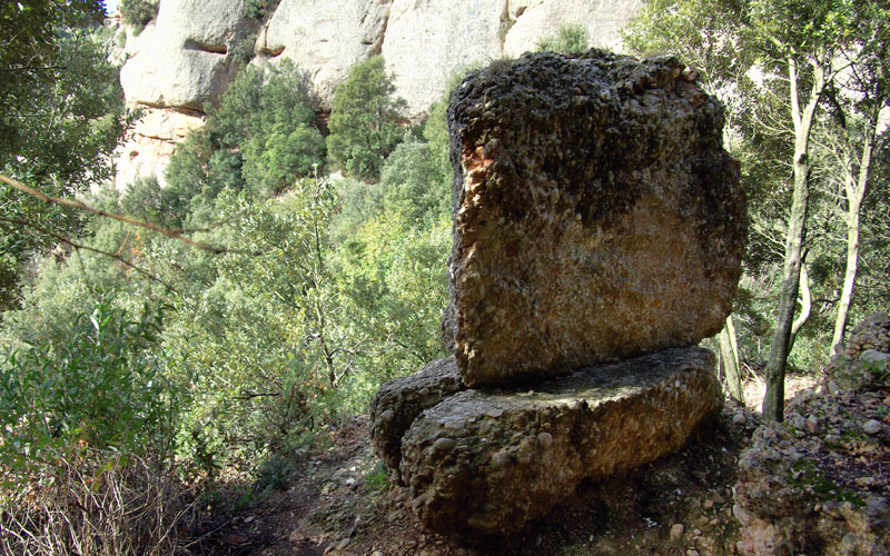
As you head towards the pass, on a sharp turn, you will see the path that leads to the cave known as the Cova Tapada. It was here that the only known megalithic remains in the Montserrat massif were found. Neolithic burials were also detected here in the early 20th century. Several metres ahead on the left, just at the edge of the path, you will see the megalith known as the Megalit de la Diablera, with a small explanatory panel.
Two steep uphill sections will bring you to the mountain pass, Coll de Guirló, where you will see two trails. The trail on the right leads to the area around the group of pinnacles known as Les Agulles, and the trail on the left, to the Can Maçana Recreational Area.
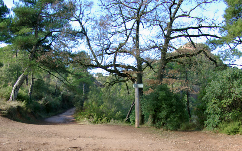
You will take the path on the left, for a peaceful descent down to the Coll de Can Maçana pass, bringing your itinerary to an end.
Route Map
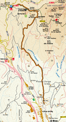
Map of services on Montserrat

Park Rules and Regulations
- Respect private property. Do not walk across cultivated meadows or crop fields.
- Respect cultural and historical heritage. It must be preserved for future generations.
- The capture and/or collection of animals, rocks, minerals or plants is forbidden throughout the Nature Park.
- It is forbidden to discard any kind of rubbish throughout the Nature Park. Always use the bins or take away any rubbish you may have.
No fires must be lit anywhere in the Nature Park.- Free camping is forbidden throughout the Nature Park. For more information on where you can stay, contact the Nature Park's Tourist Information Office.
- Do not make any unnecessary noise. Respect the quiet, especially where birds are nesting.
- All wheeled vehicles are forbidden throughout the Nature Park except on paths and routes open to the public.
- Dogs must be on a lead to ensure they can't disturb any wildlife.
- Walking is the best way to get to know the heritage of our natural places. Follow the signposted routes and paths as it's easy to get lost among the irregular terrain.
Warning! Risk of rock falls.
Basic Tips When on the Trail
- » Before leaving, check the weather conditions and how these might change. Do not undertake the walk if the forecast is not good.
- » Particular care must be taken on cold winter days, in the rain or mist and on hot summer days.
- » Plan your walk and its duration, consulting the guides and the map of the route.
- » Equip yourself adequately for the walk as the weather can change very quickly.
- » Never go alone or at least inform someone of your intended walk. When in a group, always remain in contact with the rest of the party.
- » Keep within your possibilities and remember you have to make the return journey. Carry water in your backpack, drink frequently and eat energy-giving foods.
- » Do not leave the signposted routes or take any shortcut as this results in land erosion.
- » Don't leave any rubbish in the park. Take it with you and place it in the containers or bins provided for the purpose.
- » Hunting is controlled on the mountain in order to maintain a balanced population of game. When planning your walk, consult the dates planned for boar hunts each season.
- » Should an accident occur, call the emergency services on 112. Keep calm and provide the following information:
- →Number of people involved and their age
- →Location of the accident
- →Status of the people involved: Are they injured? Conscious? Bleeding? Breathing?
- →Weather conditions at the location of the accident
Further information
Contact the office of the Montserrat Mountain Nature Park:
Plaça Abat Oliba, s/n, Tel. 938350644Visit our website: